NASA Products for Texas Flooding July 2025

The NASA Disasters Program provided satellite imagery in response to flooding in Texas in July 2025 to support response efforts. Some highlights include flood detection mapping using Sentinel-1 data and global landslide hazard modeling.

  • Speed Dating v1.5 02 scaled

    Speed Dating Research Briefs September 2025

    Our September 2025 Virtual Speed Dating Event pairs humanitarians and Earth scientists to tackle shelter, damage, and displacement, guided by briefs on unmapped facilities, impact updates, and displacement signals.
  • smoke fire ca 933x1024 1

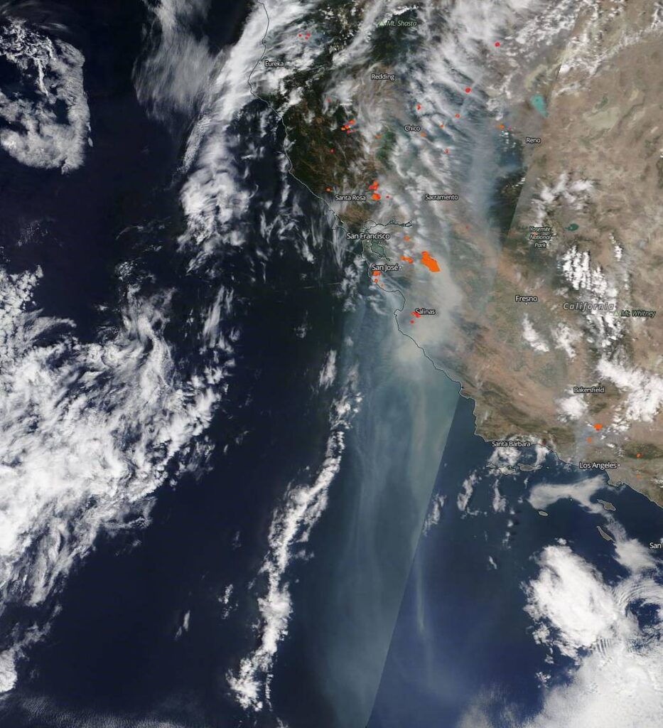
    Orbit to Impact: A Day of Humanitarian Earth Observation

    From mapping overnight floods to monitoring wildfire spread and supporting conflict response, this blog offers a glimpse into how Earth observation scientists use satellite data to guide humanitarian action around the world.
  • IMG 6752 scaled

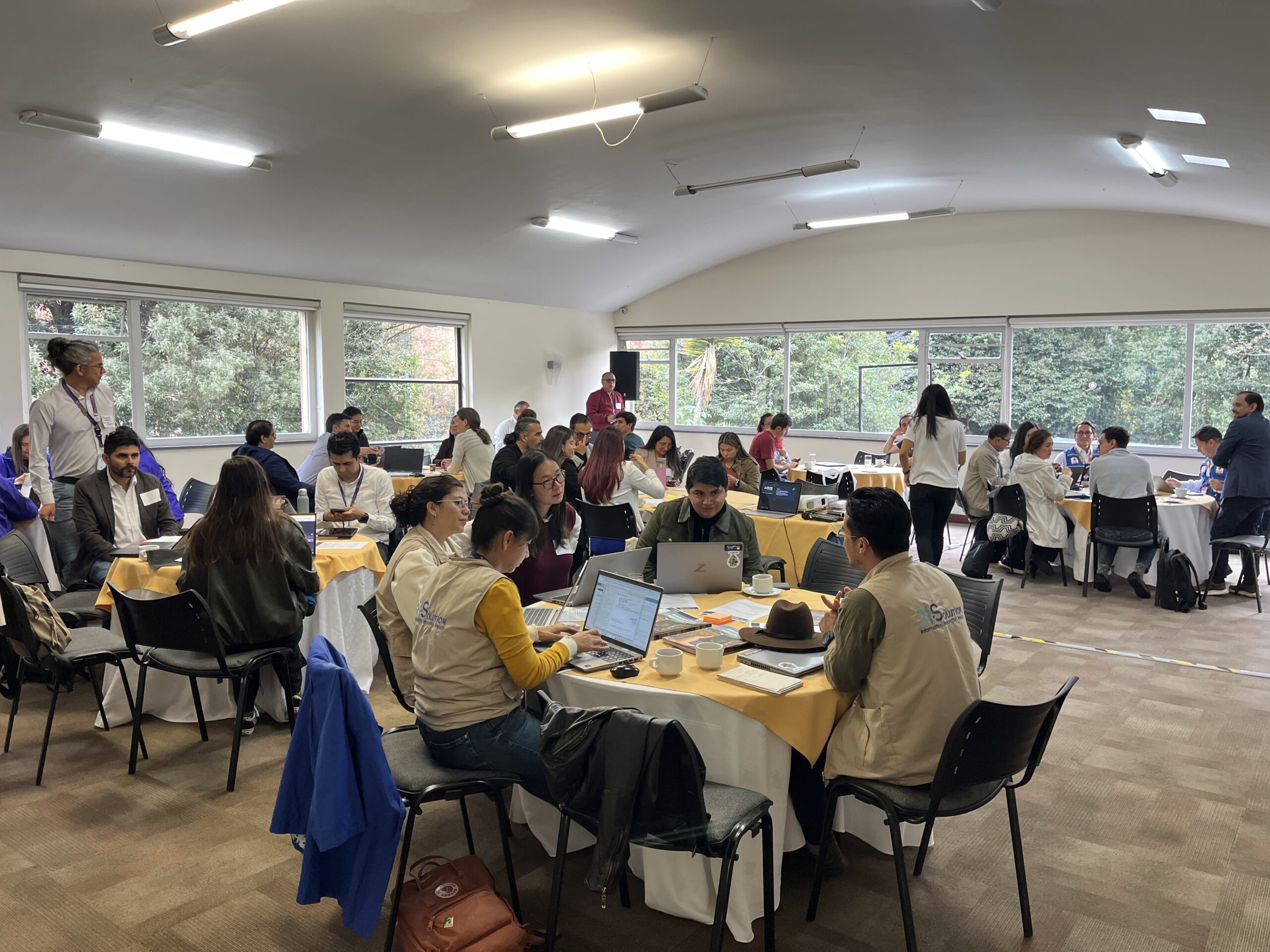
    Building Crisis-Ready Partnerships: Learning from “Speed Dating” in Bogotá

    At our Bogotá Speed Dating event under the Twilio Crisis Readiness Accelerator, 64 participants from humanitarian, government, and technical organizations convened to form new partnerships backed by flexible pilot grants.
  • DataStudios Screenshot

    Why Data Studios?

    The Data Studios are a different way of organizing geospatial and remote sensing resources. Instead of starting with a dataset and asking people to figure out what to do with it, we start with the real-world questions and work backwards from the use case.
  • GeoAI Supper Club Series Graphic

    Risk Assessments and Early Warning Systems: GeoAI Supper Club Primer

    This Supper Club pre-read introduces how GeoAI is being applied to humanitarian risk assessments and early warning systems. Both this document and the accompanying Supper Club discussion are part of the broader Lifelines humanitarian geoAI research initiative, which aims to evaluate the use of GeoAI across the humanitarian lifecycle and to develop guidelines for its responsible application
  • d8caa77d 609e 460a b75e 732f5e9dbca4

    A Day in the Life of Earth: What NASA Sees from Space

    From orbit, NASA satellites witness Earth’s full daily rhythm—from sunrise to midnight storms to polar night. These instruments capture air quality, vegetation, rainfall, soil moisture, and glacial change in real time, offering a global perspective that helps us respond to crises, monitor environmental shifts, and protect the systems we depend on.